|
| *****SWAAG_ID***** | 82 |
| Date Entered | 12/01/2011 |
| Updated on | 23/12/2011 |
| Recorded by | Tim Laurie |
| Category | Burnt Mound |
| Record Type | Archaeology |
| Site Access | Not known |
| Record Date | 01/01/2005 |
| Location | PRESTON UNDER SCAR C.P. |
| Civil Parish | Preston Under Scar |
| Brit. National Grid | SE 058 919 |
| Altitude | 280m |
| Geology | Talus slope below outcrop of the Main Limestone (Redmire Scar) |
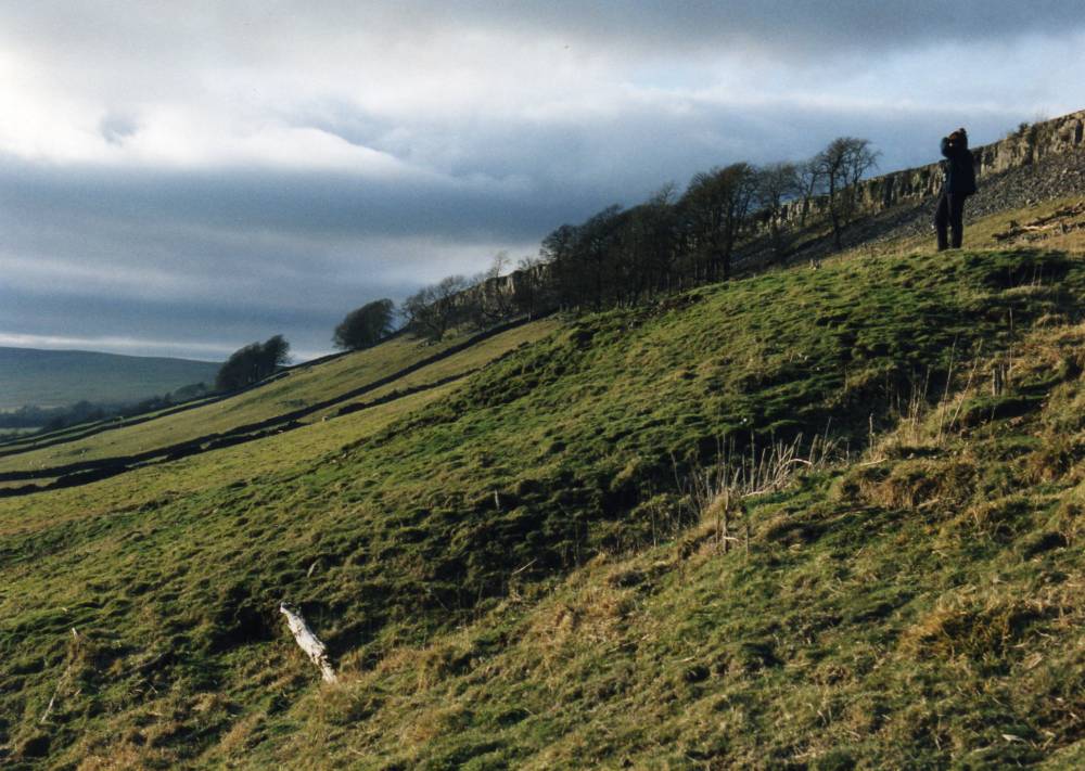
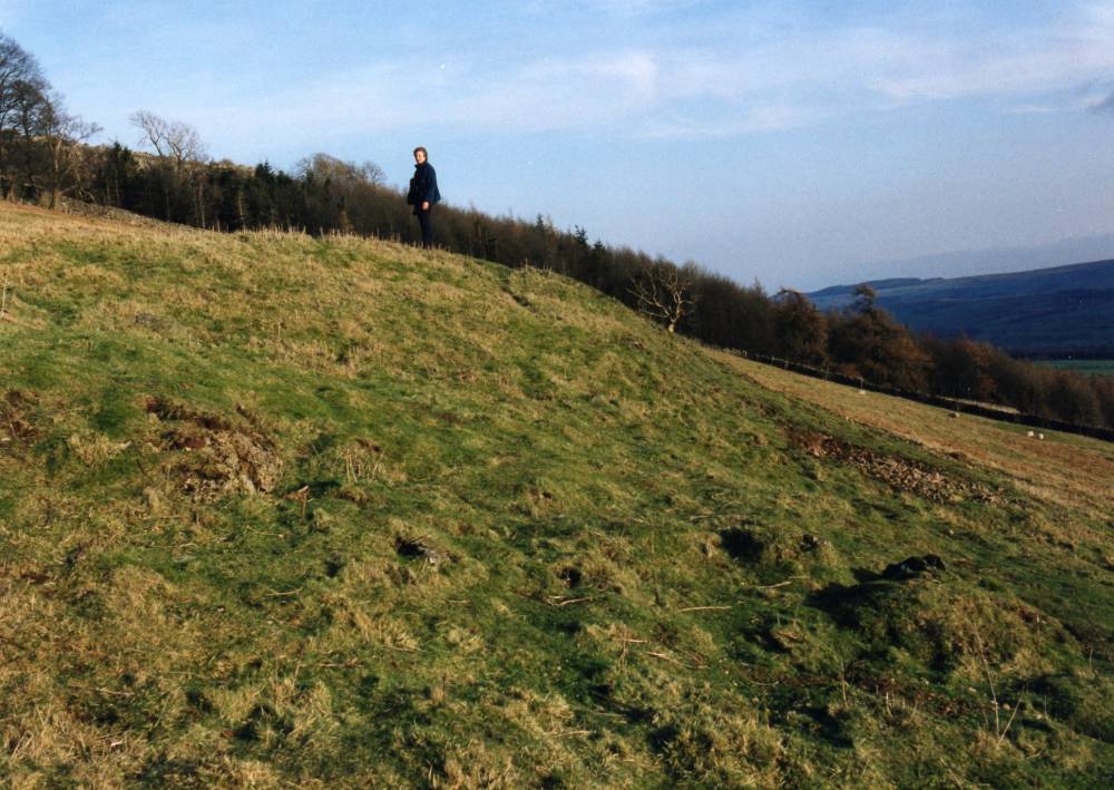
| Record Name | Very large Burnt Mound below Redmire Scar. |
| Record Description | Redmire Scar SE 058 919 280m Large, high. Flattened top.* On steep slope below limestone scar.
At abandonned Spring.
*Indicative Burnt Mound Dimensions.
Indicative overall dimensions used in these records:
Size: Small <6m, Medium 6m-9m, Large 10m-15m, Extra large >15m.
Height: Low <0.5m, Average 0.5-1.0m, High >1.0m.
|
| Dimensions | Large, high* |
| Additional Notes | Associated sites include the ring cairn and field system on Preston Scar, the two burnt mounds and unenclosed settlement at Redmire Low Scar and the unenclosed round house or ring cairn at Thorny Bank Hill together with burnt mounds at Cobscar Rake and Stopmore Rake (all recorded seperately). |
| Image 1 ID | 212 Click image to enlarge |
| Image 1 Description | Very large burnt mound below Redmire Scar |  |
| Image 2 ID | 213 Click image to enlarge |
| Image 2 Description | Very large burnt mound below Redmire Scar |  |
| Image 3 ID | 214 Click image to enlarge |
| Image 3 Description | Very large burnt mound below Redmire Scar | 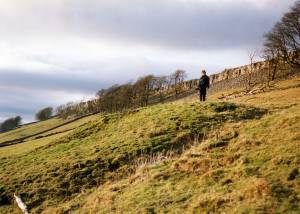 |
| Image 4 ID | 215 Click image to enlarge |
| Image 4 Description | Very large burnt mound below Redmire Scar | 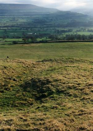 |